

The Archaeological Cultures Represented by the Potsherds from
Tall-i Qaleh and Tall-i Shogha, Fars, Southwest Iran
M. Hossein Azizi Kharanaghi
The sites’ settings
The Fars Province is situated in Southwest Iran, in the southeastern part of the Zagros Mountains (Fig. 1), and is surrounded by the provinces of Esfahan, Charmahal Bakhtiari to the north, Khozestan to the west, Bushehr and Hormozgan to the south, and Yazd and Kerman to the east. In terms of archaeological studies, Fars is one of the most important regions in Iran. The cultural history of human activity in this region dates back to the Paleolithic (Rosenberg 1980). The relative abundance of water, permanent rivers, and fertile soil has been an important factor in the formation of many settlements in this area. Major rivers of this province comprise the Kur, Seyvand, and Qare Aqaj that played an essential role in the development of human settlements. Numerous fertile plains between the mountains in the Fars, include Baiza, Marvdasht, Kavar, Fasa, Kamin, and Morghab. The Marvdasht Plain is one of the most fertile ones in the Fars Region, owing to the presence of the river Kur, along with suitable soils, and has attracted human populations from the Paleolithic onwards (Stein 1936; Vanden Berghe 1952; Sumner 1972). Both of the two sites presented in this volume are situated in the Marvdasht Plain (Figs. 2–4). Their present geographic settings are as follows.
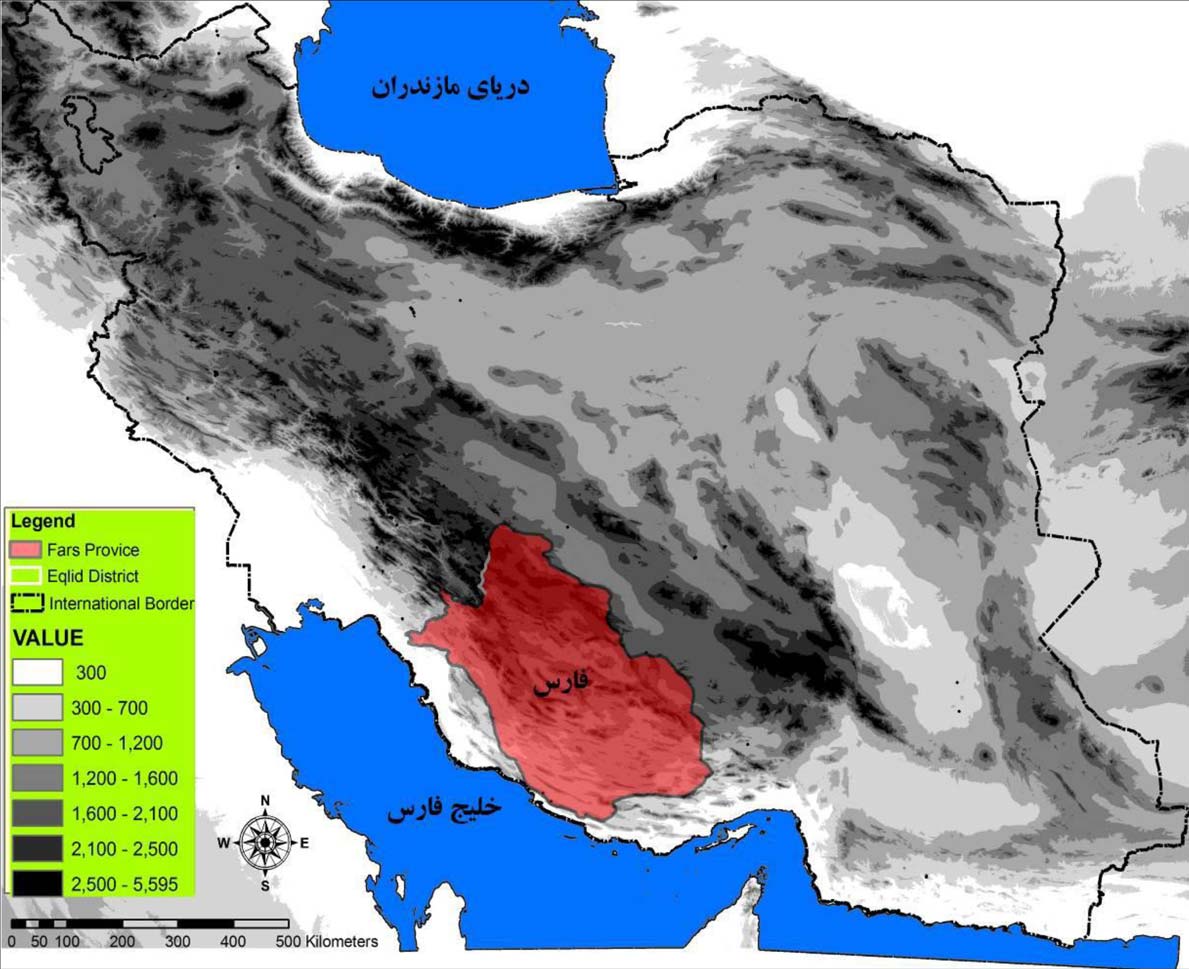
Fig. 1 Map showing the location of the Fars Province, South Iran (after Barani 2014).
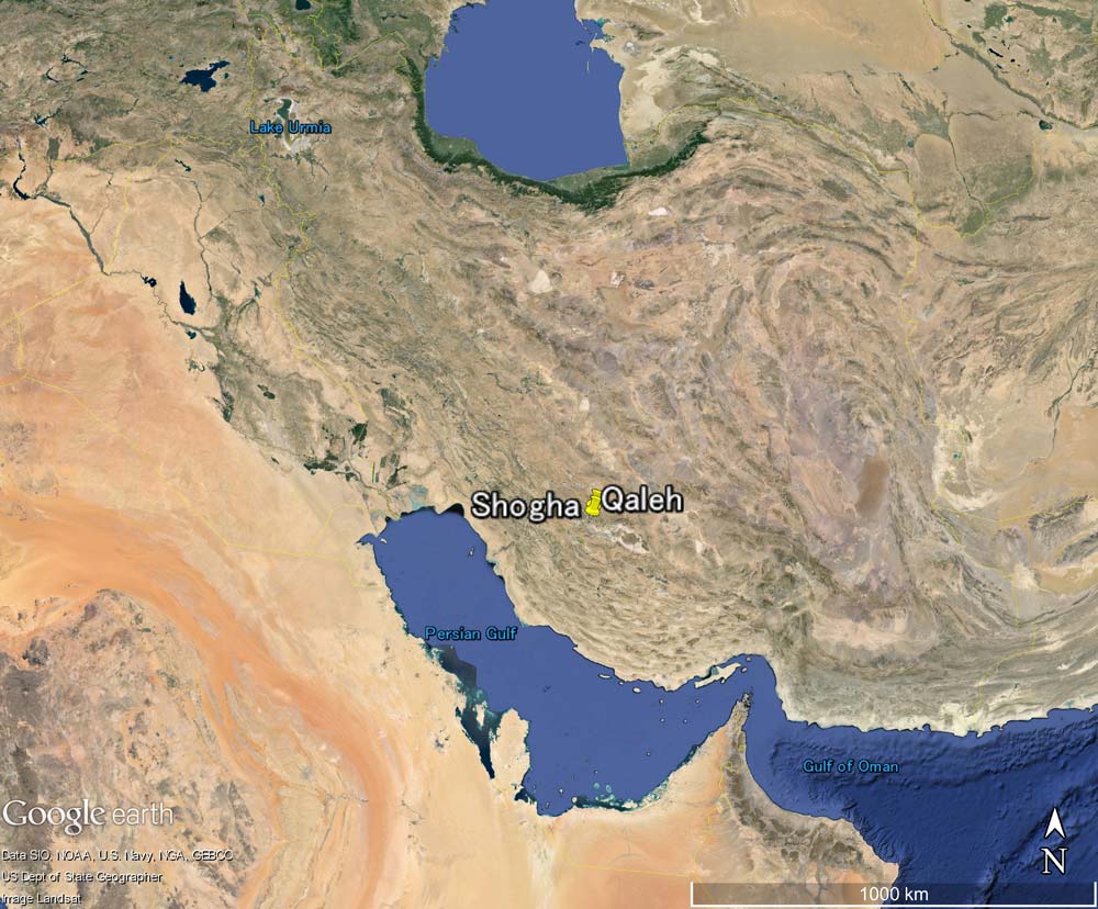
Fig. 2 Map showing the location of the sites of Tall-i Qaleh and Tall-i Shogha. ©2015 Google Earth
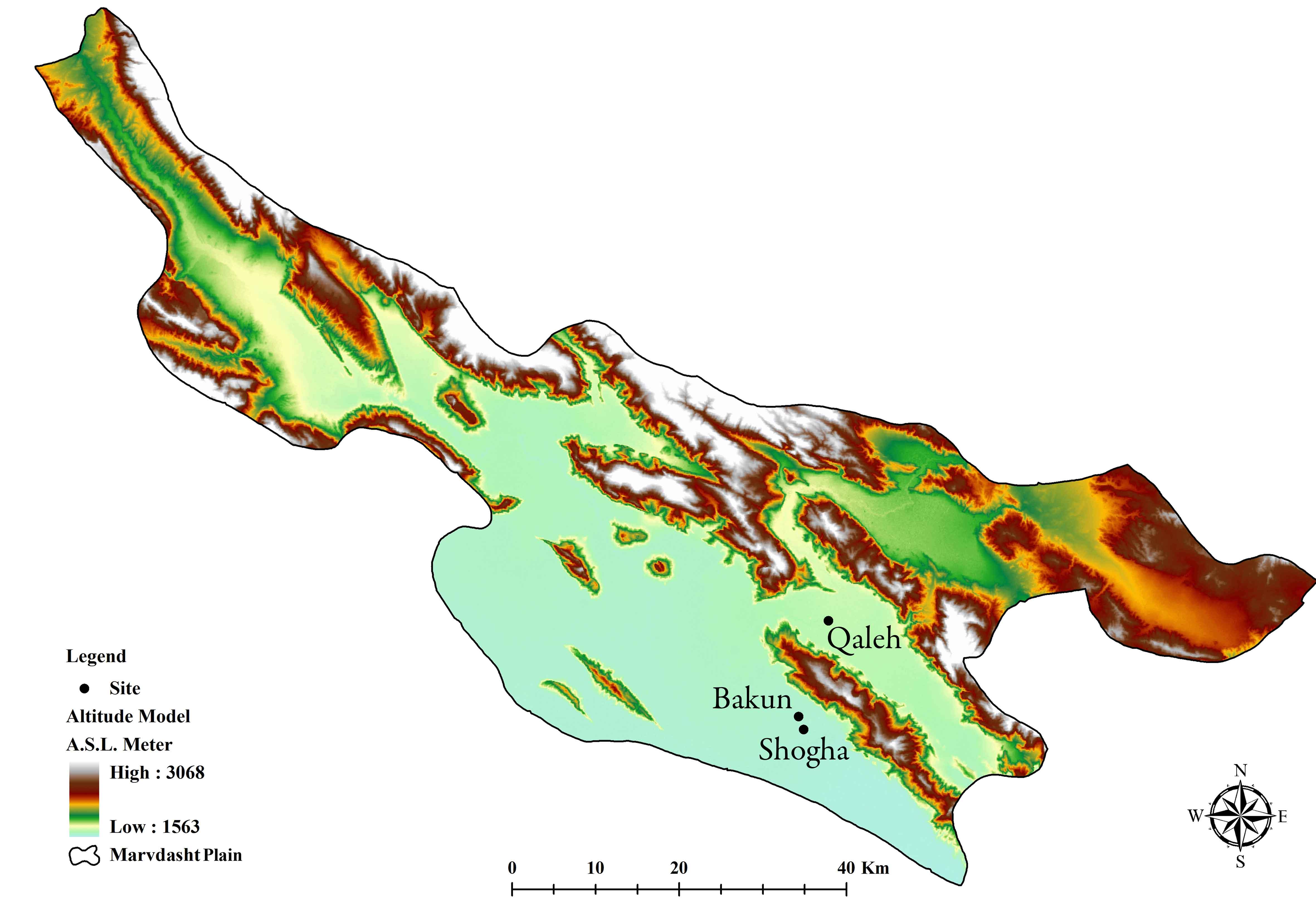
Fig. 3 Topographic map showing the location of the sites of Tall-i Qaleh and Tall-i Shogha (adapted from Barani 2014).
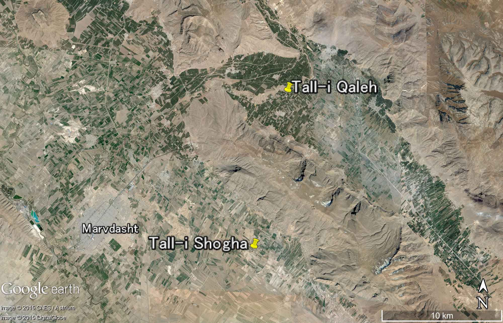
Fig. 4 Satellite image showing the location of the sites of Tall-i Qaleh and Tall-i Shogha. ©2015 Google Earth ©2015 Digital Globe ©2015 CNEW / Astrium
Tall-i Qaleh (N. 29° 58' 20.57"- E. 52° 58' 70.55," 1666 masl)
Tall-i Qaleh is located in Seyedan Village, Marvdasht District, between the Rahmat and Hossein Mountains, with the Sivand (Polvar) River located 1 km to the east of the site. The site is surrounded by farmlands and is disturbed by agricultural activities (Figs. 5, 6). It is oval in shape comprising a large, high central mound surrounded by four smaller mounds. The height of the central mound is around 15 m and its dimensions are 250 × 180 m. Over the surface, in particular towards the west, we note scatters of different types of prehistoric ceramics of the Qaleh, Shogha and Timoran cultures.
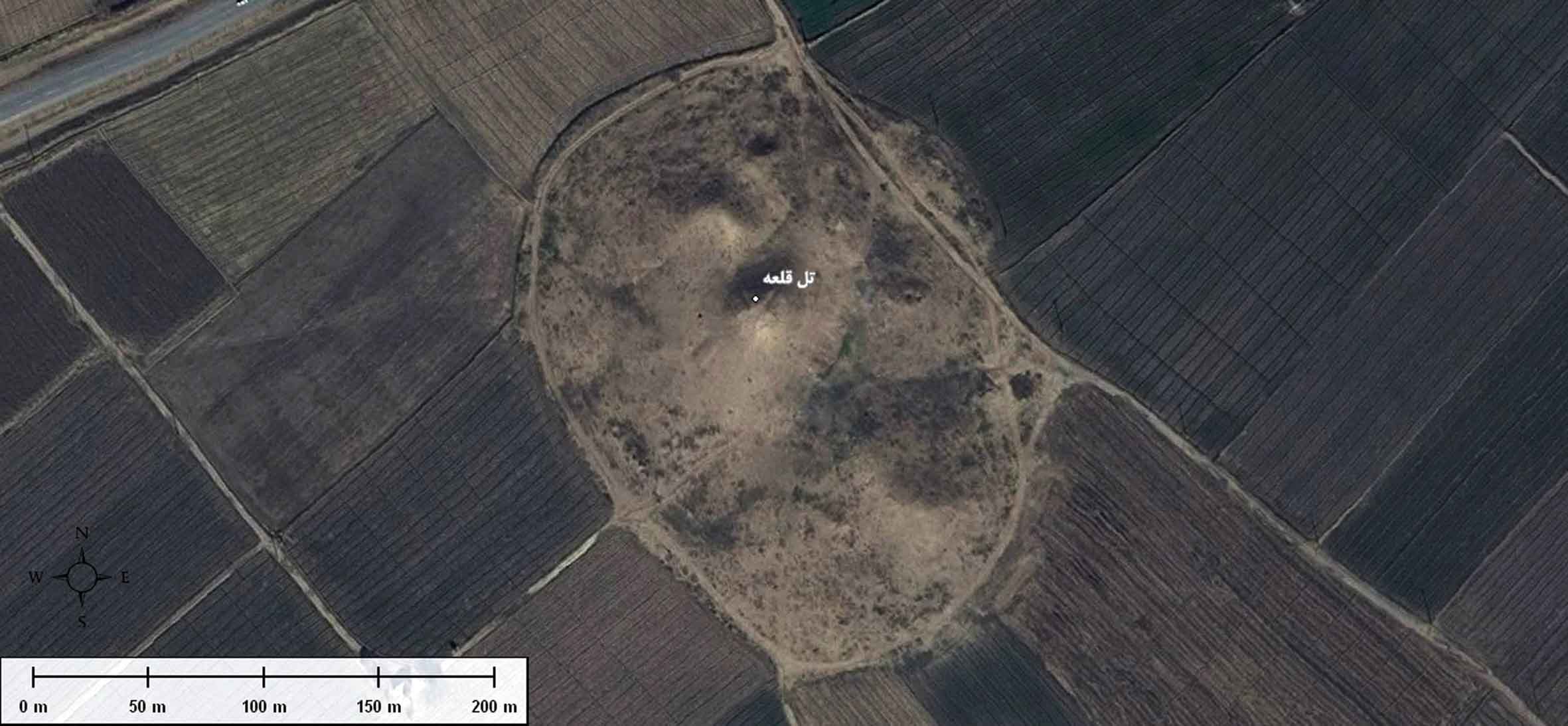
Fig. 5 Satellite image of Tall-i Qaleh, based on Google Earth (after Barani 2014). ©2010 Google
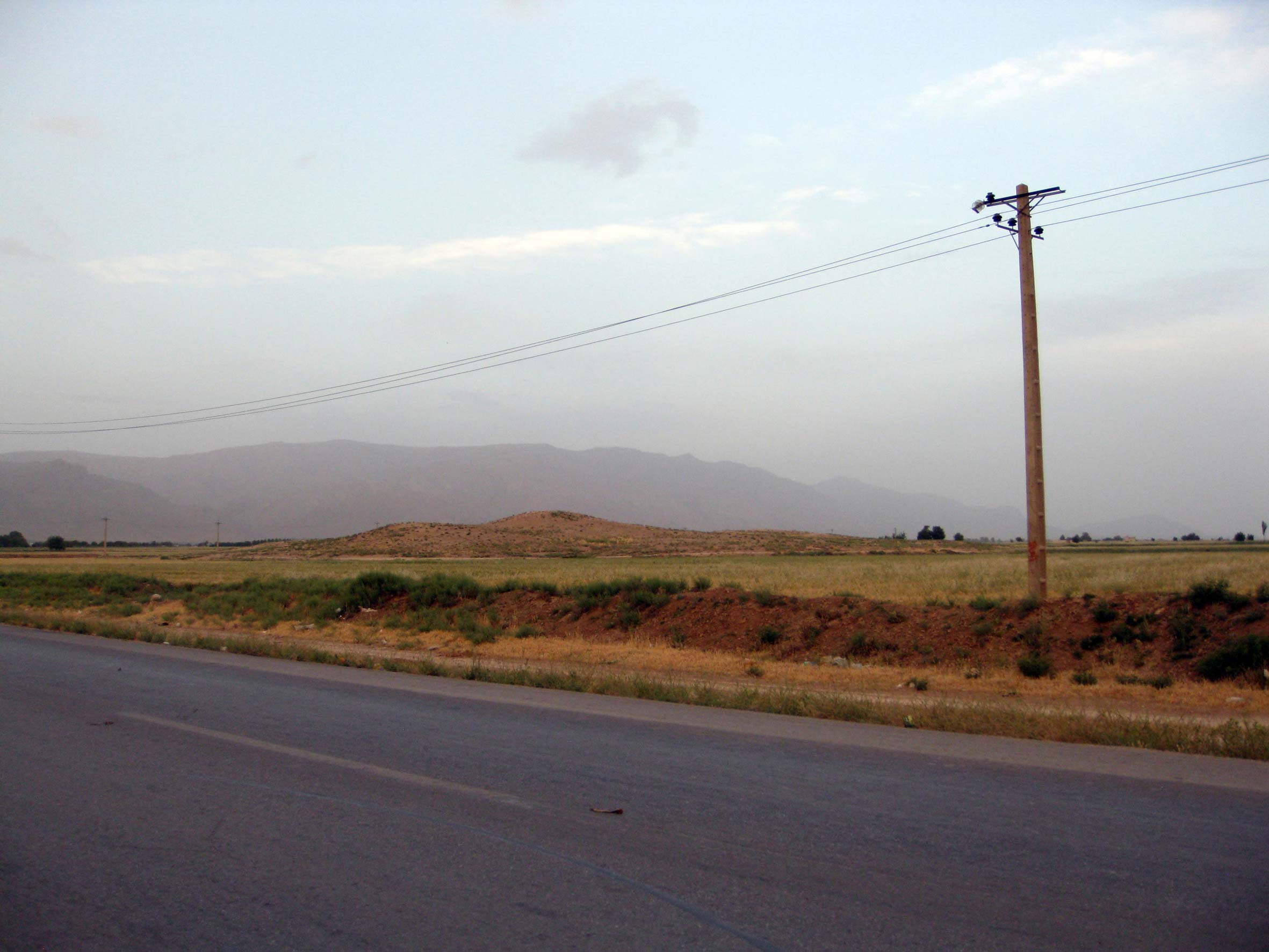
Fig. 6 Tall-i Qaleh, looking west (after Barani 2014).
Tall-i Shogha (N. 29° 51' 18.47"- E. 52° 56' 21.12," 1566 masl)
The site is located 17 km south of Persepolis and 4 km east of the Kur River, in the southeastern part of Gashkak Village (Figs. 7–10). The site is surrounded by farmland and is disturbed by agricultural activities. Tall-i Gap is just 500 m to the north of Shogha. Tall-i Shogha is almost rectangular in shape, rising 12 m above the plain and measures 250 × 210 m.
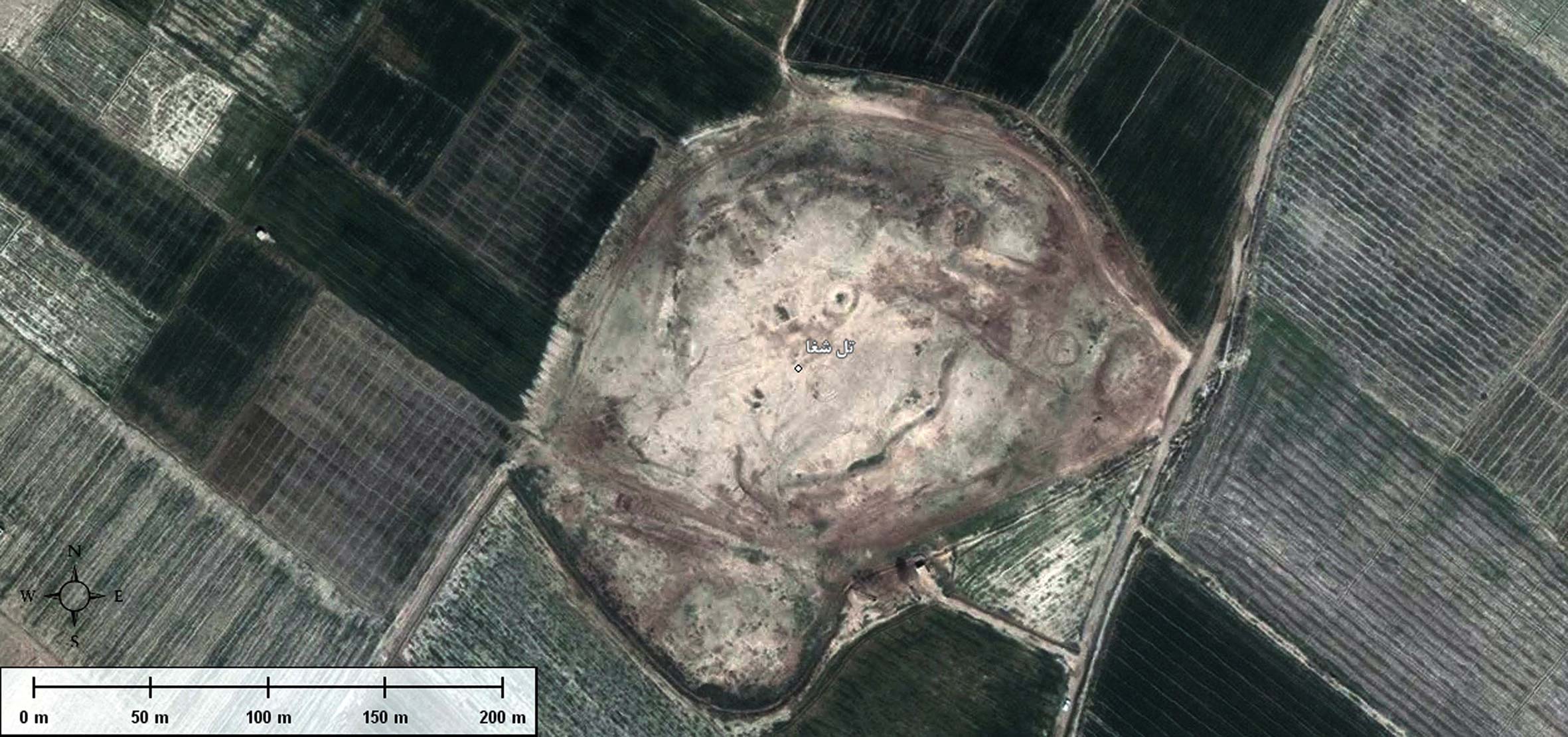
Fig. 7 Satellite image of Tall-i Shogha, based on Google Earth (after Barani 2014). ©2010 Google
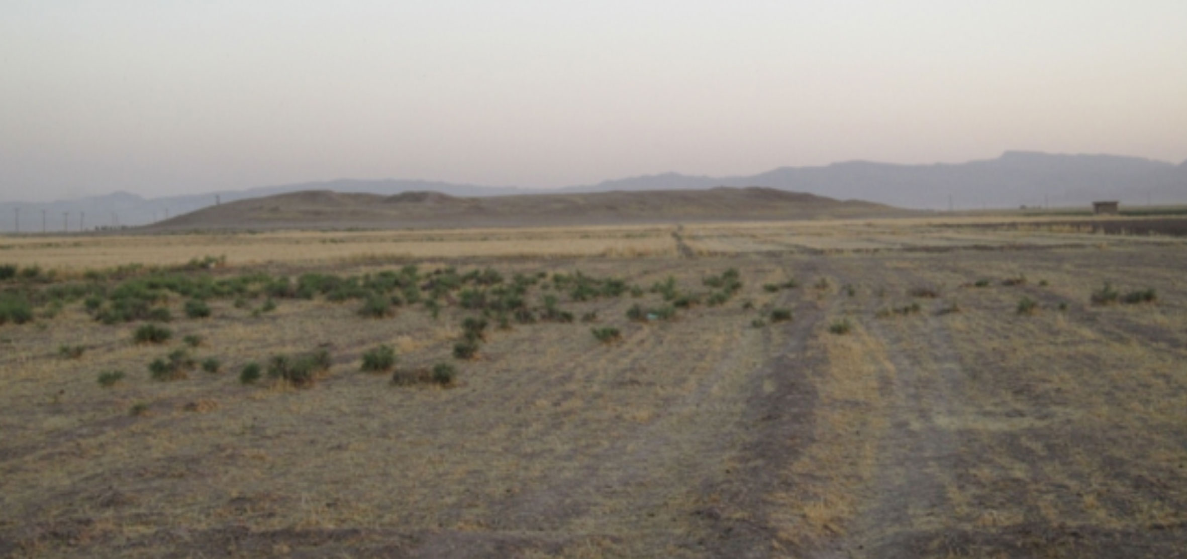
Fig. 8 Tall-i Shogha, looking north (after Barani 2014).
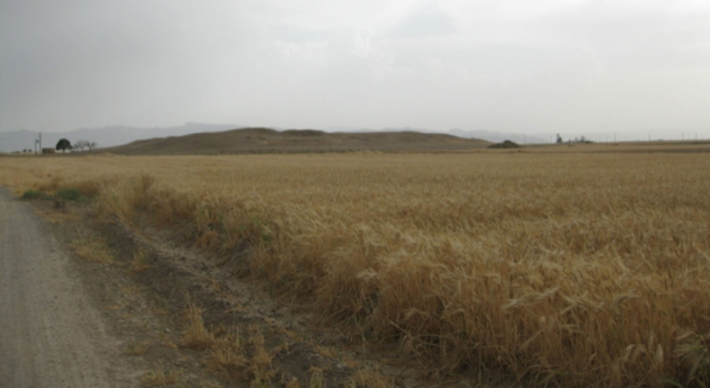
Fig. 9 Tall-i Shogha, looking east (after Barani 2014).
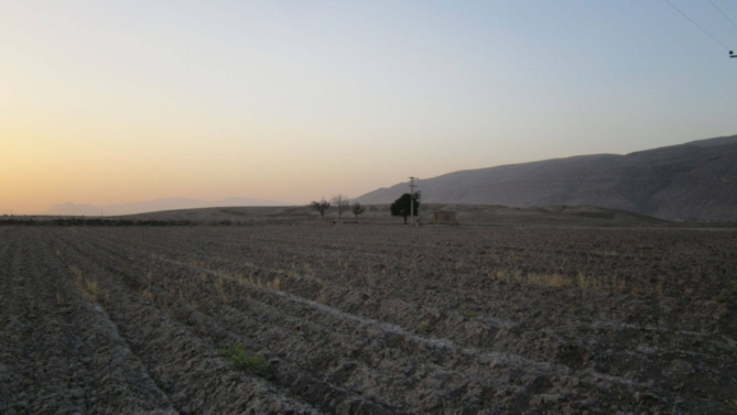
Fig. 10 Tall-i Shogha, looking south (after Barani 2014).
Archaeological cultures
______
References
______